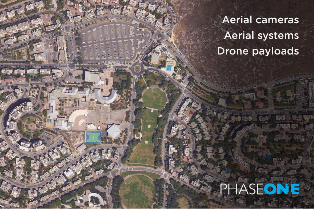
Phase One aerial cameras, systems and drone payloads are designed for geospatial imaging. We offer the world’s best image quality, high resolution, dynamic range, color fidelity, and geometric accuracy. Our versatile product range is perfect for addressing the wide range of challenges of imaging data acquisition projects, such as 2D & 3D city modelling, mapping & surveying, ground and aerial inspection, helping our customers to increase productivity by minimizing costs, time and resources.
Make sure to stop by our booth to be the first one to discover our new groundbreaking solution.