Modern surveying technology is permeating the markets as part of the digitisation megatrend. Driven by the shortage of skilled workers, high demands on efficiency, protection of resources and documentation obligations, the industry is experiencing a major boom. Laser scanning solutions in particular make surveying easier or more accurate, depending on the field of application, but in any case faster and more efficient. In the hands of experts, these solutions provide answers to many of the questions of our time.
Modern surveying solutions continue to develop in the slipstream of the digitisation megatrend and at the same time are fuelling solutions for the challenges of our time. For Markus Westphal, Sales Area Manager DACH and Denmark in the Geospatial division of the international surveying provider Trimble, the driver of the tremendous push in the entire surveying industry lies primarily in the framework conditions that accompany digitisation: The shortage of skilled workers, which virtually forces efficiency in many sectors. In addition, the high documentation effort with a complete inventory necessitates the search for new ways. The sales expert sees two opposing trends. "On the one hand, solutions should be easier to use, so that, for example, the foreman on the construction site also takes over surveying tasks. Secondly, as a result of automation and the expansion of infrastructure, the trend is towards the highest demands on accuracy. We have solutions for both strands," says Westphal. Every solution from GNSS rover to terrestrial and mobile laser scanning has its place in the landscape of surveying and planning tasks, says Westphal. However, the company is experiencing particularly high demand in the laser scanning segment.
The Trimble X7 is a very fast 3D laser scanning system based on innovative technologies that makes it easy to get started, helps to increase efficiency and, in combination with Trimble Perspective, ensures reliable operations in the field.
Measurement accuracy and efficiency key to success
For Jürgen Nussbaum, Chief Sales Officer (CSO) at laser scanning specialist Riegl, LiDAR (Light Detection and Ranging), i.e. three-dimensional laser scanning, is the leading technology for a detailed documentation of the environment. He also cites the high measuring accuracy and the three-dimensional, fast and efficient data acquisition as the key to success. Common applications today, he says, are forest and woodland inventories to derive the potential yield or the amount of carbon dioxide stored. This also includes the recording of large-scale topographic terrain models, the development of emergency measures in connection with natural hazards or the bathymetric survey of rivers, lakes and coastal regions. "Due to the increasing frequency and intensity of extreme climate events, the need for recurring data acquisition at regular intervals in all of the above-mentioned areas is constantly growing," explains Jürgen Nussbaum and adds: "We are constantly investing in research and development in order to be prepared for these challenges and to be able to provide the user with optimally suited sensors."
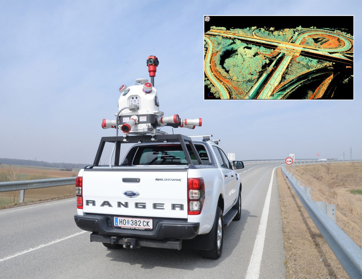
The RIEGL VMX-2HA is a dual mobile mapping system that measures at high speed and performance, delivering highly reliable and accurate detailed scans for motorway surveying, among other applications.
Areas of application are becoming larger and larger
Wherever the actual state is modelled and documented in order to use it as a basis for planning, laser scanning is more in demand than ever. Infrastructure such as bridges, roads, railway lines, power lines, buildings, entire digital twins of urban environments, production facilities in industry - all of this is scanned for planning and documentation purposes, transferred into 3D models and further processed with GIS and CAD tools. In the energy environment, route planning in particular is a current field of application for laser scanning. In agriculture, for example, soil erosion is recorded with laser scanning. Road maintenance, construction site monitoring and construction progress control: all this is the terrain for modern technology today.
Workflows increasingly simple
However, the success of laser scanning is not only based on the quality of the sensors, but in the entire, continuous workflows. The manufacturers' solutions are becoming increasingly simple and provide results on the quality of the point clouds already during data acquisition in the field. Moreover, Markus Westphal emphasises, the great success of laser scanning goes hand in hand with the high level of competence of the geodesists: "Only in the hands of the geodesists do our solutions develop their full potential. Here they become the key to the challenges of our time," says Markus Westphal from Trimble.
Jürgen Nussbaum, Chief Sales Officer at Riegl. "We are constantly investing in new manufacturing technologies to meet the high demand for Riegl sensors."
Markus Westphal, Sales Manager DACH and Denmark and Sales Manager Geospatial in the EMEA division at Trimble. "I have great admiration for geospatial professionals. Their demand for quality and accuracy drives us as a company."
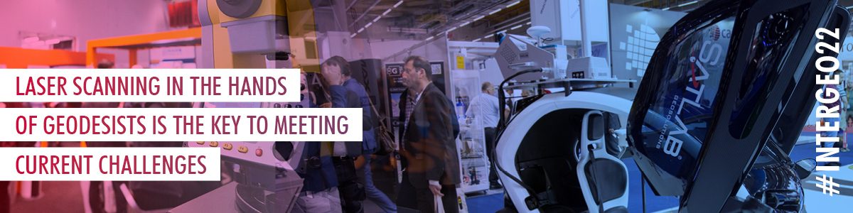
INTERGEO is one of the most important annual trade fair events in Europe for both companies. In addition to the familiar product portfolio, both companies expect to be there with innovations from 18 to 20 October in Essen.
Further information at: