Leica GS18 I: Imagine the power of Visual Positioning
INTERGEO TV and the Tech Talk about Leica GS18 I, a versatile, GNSS rover with Visual Positioning.
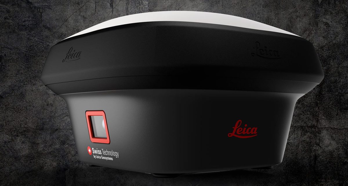
Welcome to INTERGEO TV´s Tech Talk with Bernhard Richter, Vice President, Geomatics at Leica Geosystems part of Hexagon. Talking about the Leica GS18 I, a versatile, survey-grade GNSS SOLUTION (RTK rover with Visual Positioning) and: What surveyors’ problems does Leica GS18 I solve?
See GS18 I live demo at INTERGEO Digital 2020 with HEXAGON! (13 - 15 OCTOBER 2020)
Meet Leica GS18 I, a versatile, GNSS rover with Visual Positioning. With GS18 I you can capture points of interest from a distance and measure points from the images in the field or the office. Visual Positioning technology (sensor fusion combining GNSS, IMU and a camera), allows users to reach previously inaccessible or obstructed points safely and efficiently.