Today, more than ever, there is a need for accurate, relevant, and easily accessible data to better manage emergencies and services. Without it, accurate planning for the future is a daunting task. Learn how some of your peers and experts leverage a modern data and analysis system to enable themselves and others to make decisions for high-stakes situations.

The island nation of Grenada recognized the need to create data products for urban planning, economic development, emergency management, and natural disaster planning that will support future decision-making. Grenada used its countrywide lidar and high-resolution imagery to create a digital twin of the country. This digital twin was used to create maps such as a landslide susceptibility map to test how infrastructure would be affected. To do this, staff used ArcGIS Image for ArcGIS Online to develop geographic information system (GIS) data from imagery provided by the government of Grenada, supplied by the United Kingdom government. This blog post shows how this was done using ArcGIS Image for ArcGIS Online.
Automating Workflows: AI and Machine Learning

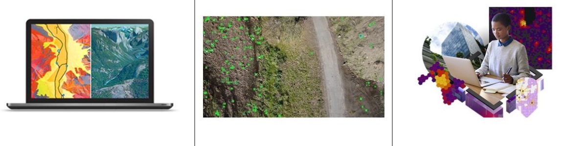
The California State Water Resources Control Board adopted an amendment to the Water Quality Control Plan for Ocean Waters of California (Ocean Plan) to Control Trash and Part 1 Trash Provision of the Water Quality Control Plan for Inland Surface Waters, Enclosed Bays, and Estuaries (ISWEBE Plan). The San Francisco Estuary Institute (SFEI), one of California's premier aquatic and ecosystem science institutes, worked with state partners to leverage drone imagery and artificial intelligence (AI) to automate the process of identifying trash in the San Francisco Bay's waterways. Learn more about how SFEI did this—read "Improving Trash Monitoring with Drone Imagery, Artificial Intelligence, Mapping."
Supporting Engineering and Construction: GIS and BIM
Building of the High Speed 2 (HS2) railway in the UK is under way. Planning for this complex project required some of the most advanced 3D mapping capabilities available. In a joint venture, Skanska, Costain, and STRABAG are working together to build a key section of the HS2. The companies needed the power of GIS combined with building information modeling (BIM) to create a state-of-the-art solution that can easily share information and help staff make decisions that will help reduce costs and improve safety. Learn how these organizations are working together to achieve this.
Understanding Global Ecosystems: Sustainability and Data Access

Understanding our global ecosystems was a charge driven by the Group on Earth Observations (GEO). GEO, the US Geological Survey, and Esri worked together to build a series of frameworks to help promote a more profound understanding of the earth that can inform more sustainable decisions by governments, the private sector, and nongovernmental organizations. These frameworks are called ecological land units (ELU), ecological marine units (EMU), and the newly released ecological coastal units (ECU). Learn more about the creation of the ECU.