
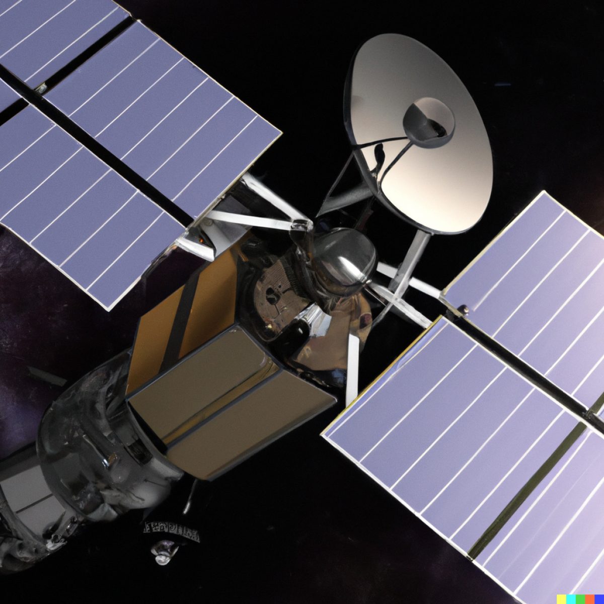
From space, satellites observe the impacts of global warming around the globe. Around the clock, they collect important data for researchers: on the rise in sea levels, the melting of the poles and the increase in greenhouse gases in our atmosphere, just to name a few examples.
This data is used to help us better understand our planet and the impacts of human activity on the environment. In the context of climate change, Earth observation satellites are especially important because they allow us to monitor changes in the Earth's climate system over time. This data helps us to identify trends and patterns, and to understand the causes and consequences of climate change. Overall, Earth observation satellites are a crucial tool for monitoring and managing our planet's natural resources, and for helping us to address some of the biggest environmental challenges we face, including climate change.
INTERGEO TV is hosting an expert interview on Earth observation and global monitoring. The discussion focuses on the vital role that satellites, radar sensors, and new information play in monitoring and understanding global warming, sea level rise, melting of poles, and greenhouse gases in the atmosphere.
In this interview, these experts will shed light on the important role that satellites, radar, Sensors und geoinformation play in understanding and monitoring our planet's environment:
- Godela Rossner, Head of Earth Observation at the German Space Agency, DLR
Godela has extensive experience in the field of remote sensing and has worked on numerous missions related to Earth observation. She is also a passionate advocate for the use of satellite data to address environmental challenges such as climate change. - Dr. Andreas Müterthies, Head of business Development at EFTAS , a german Company known for geoinformation and IT Services Vice President DDGI.
Andreas, a scientist who specializes in environmental monitoring using remote sensing techniques, with a particular focus on climate change. He is Head of business Development at EFTAS , a german Company known for geoinformation and IT Services Vice President DDGI german assiciation for geoinformation
INTERGEO TV expert interview on Earth observation and global monitoring
The discussion focuses on the vital role that satellites, radar sensors, and new information play in monitoring and understanding global warming, sea level rise, melting of poles, and greenhouse gases in the atmosphere.
In this interview, these experts will shed light on the important role that satellites, radar, Sensors und geoinformation play in understanding and monitoring our planet's environment:
- Godela Rossner, Head of Earth Observation at the German Space Agency, DLR
Godela has extensive experience in the field of remote sensing and has worked on numerous missions related to Earth observation. She is also a passionate advocate for the use of satellite data to address environmental challenges such as climate change. - Dr. Andreas Müterthies, Head of business Development at EFTAS , a german Company known for geoinformation and IT Services Vice President DDGI.
Andreas, a scientist who specializes in environmental monitoring using remote sensing techniques, with a particular focus on climate change. He is Head of business Development at EFTAS , a german Company known for geoinformation and IT Services Vice President DDGI german assiciation for geoinformation
What you will learn in this video:
Godela Rossner explains in that interview how DLR´s work involves building Earth observation satellites, developing applications for satellite data, and promoting the distribution of satellite data on a national and European level. They work on various programs such as the Copernicus program, which has been a game-changer in Earth observation, providing a constant, consistent, and continuous monitoring infrastructure that delivers data needed to understand processes on a global, regional, and local level. Copernicus also provides a tool to act on data to meet global goals such as the temperature goal of the Paris Agreement and the European Green Deal. Andreas Mütherthis talks about the importance of remote sensing techniques in monitoring the Earth's environment and climate change.
The experts are also discussing the role of global monitoring in addressing climate change and protecting the environment. They emphasize the importance of Copernicus, a program that provides global-scale monitoring of climate change and its impacts through a combination of satellite and data. Mütherthies notes that Copernicus is a game changer and the only program that can provide this type of data. Andreas highlights the need to combine data from various sources to get a complete understanding of climate change and its impact, and to monitor the effectiveness of efforts to mitigate climate change. He concludes that having an instrument to monitor our activities to combat climate change is crucial and there is no other instrument for it.
Copernicus Earth Observation: A Game Changer in Addressing Climate Change
Climate change is a pressing global issue that requires innovative solutions and effective monitoring. In this regard, the Copernicus Earth observation program has emerged as a game changer.
Godela Rossner and Andreas both emphasize the program's indispensable role in addressing climate change and protecting the environment. As we strive for a more sustainable future, Copernicus stands as a beacon of hope, enabling us to make informed decisions and take effective action to combat climate change. With its unique capabilities, Copernicus is at the forefront of Earth observation, paving the way for a greener, more resilient planet.
00:00 – 06:50. Godela Rossner: Revolutionizing Earth Observation through Copernicus for Climate Action
According to Rossner, Copernicus, managed by the European Commission and the ESA, has revolutionized Earth observation. It provides continuous monitoring and data that enable us to understand global, regional, and local processes. This data is crucial for taking actions aligned with climate change goals, such as those outlined in the Paris Agreement and the European Green Deal. Rossner also highlights the transformative potential of Copernicus in helping cities create sustainable environments, mitigating the adverse effects of climate change on residents.
06:46 – 12:45. Andreas Müterthies : Copernicus - A Vital Tool for Monitoring Climate Change and Protecting the Environment"
Andreas underlines the significance of Copernicus as a vital tool for European Earth observation. He emphasizes the program's role in monitoring climate change and climate protection.
He mentions that the program has been in development for over 20 years and highlights the work done in designing satellites and determining what they should monitor. Andreas emphasizes the success of Copernicus in providing valuable data on climate change globally, regionally, and locally. He mentions the program's ability to track temperature changes, rainfall patterns, land use modifications, and the impact of climate change on various aspects of the environment. Andreas notes that Copernicus is unique in its ability to provide comprehensive data for monitoring climate change and its impacts. He stresses the importance of combining satellite data with in situ data to gain a complete understanding of climate change. Andreas also emphasizes the need to monitor the effectiveness of climate change mitigation efforts and adapt to the changing climate. He concludes that Copernicus is the essential instrument for monitoring and evaluating activities related to climate change and its impacts
14:09 – 15:29. Andreas Müterthies : Copernicus - A Game-Changer for Monitoring Global Environmental Impact
Andreas highlights the significance of upcoming supply chain laws in the European Union, which aim to prevent environmental impact, particularly deforestation, in the production of commodities like soybeans and palm oil. Andreas emphasizes the need for satellite data, including optical and radar data, to monitor production and detect deforestation in regions outside of Europe, such as South America. He emphasizes that without access to this data, monitoring efforts would not be possible, and Copernicus plays a vital role in delivering the necessary information for effective monitoring.
16:05 – 23:40. Godela Roßner : Unlocking Insights on Greenhouse Gases: Sentinel 5P Satellite Data's Role in Monitoring and Understanding Climate Change
The discussion revolves around the use of satellite data, specifically from Sentinel 5P, to understand and monitor greenhouse gases in the context of the Paris Climate Protection Agreement. The focus is on reducing global carbon dioxide emissions. The conversation highlights the role of Earth observation and the Copernicus program in verifying and monitoring greenhouse gas concentrations globally. It emphasizes the need for accurate data and international cooperation to effectively address climate change. Additionally, the discussion touches on the importance of monitoring deforestation and rebuilding forest biomass, which can be supported by other Sentinel satellites. Overall, the conversation emphasizes the role of Copernicus and Earth observation in addressing climate change challenges.
25:00 – 28:18 Godela Roßner : The importance of Earth observation data to handle the climate change and to get into action
Godela talks about the need for actionable information and accountability in addressing climate change. She provides concrete examples to support this idea. One example is the supply chain law that holds producers accountable for their actions, such as tracing the origin of wood used for production. Another example is the discovery of unaccounted greenhouse gas emissions from over 900 drilling platforms in the North Sea, which produce significant amounts of methane. These examples demonstrate the importance of Earth observation data in complementing our understanding of emission sources and making industries accountable for their pollution. The text also mentions the role of commercial satellites in providing high-resolution data to monitor emission sources. Overall, the focus is on translating information into action, measuring the effects, and ensuring that legislation and policies guide efforts towards effective climate change management
29:32 – 40:10 Andreas Mütherthies : Harnessing Satellite Data for Environmental Monitoring and Risk Prevention: Examples of Land Use, Deforestation, and Energy Transformation
In this chapter Andreas Müterthies is talking about the use of data, specifically Copernicus Sentinel data, for monitoring and understanding various environmental phenomena. He provides several concrete examples to illustrate the application of this data.
One example is monitoring land use and land cover changes over time using Sentinel-1 and Sentinel-2 data. He presents images of a river basin in Germany to show how the data can reveal changes in vegetation, forest cover, and settlements, including the impact of drought.
Another example is the monitoring of deforestation. Using satellite data, changes in forest vitality can be detected, whether they are caused by seasonal variations, mining activities, or drought. He showcases examples from Germany and Australia, where the loss of forest due to drought is monitored and visualized.
Müterthies also discusses the use of data for monitoring and preventing environmental disasters. He presents two cases involving mining industry-related incidents: the cyanide poisoning of the Danube River ecosystem in Romania caused by a dam break, and the movement of a tailing pond dam in Brazil. In both cases, he emphasizes the importance of using remote sensing data, such as radar data from Sentinel-1, to monitor and warn about potential risks.
Furthermore, he highlights the use of data for monitoring the effects of energy production and transformation. He mentions the monitoring of underground storage facilities for oil and gas, which can be repurposed for hydrogen storage in the future. By monitoring ground movements using remote sensing data, potential risks and damages can be identified.
Overall, Andreas Müterthies emphasizes the global availability of such data and its crucial role in understanding and addressing various environmental challenges.
42:00 – 49:22. Godela Roßner "Satellite-based Earth Observation: A Crucial Tool for Disaster Monitoring, Response, and Prevention"
Satellite-based Earth observation plays a crucial role in disaster monitoring and response. It provides essential data for assessing the extent of disasters, estimating the affected population, and coordinating relief efforts. Examples include using satellite data to assess the impact of earthquakes, such as the one in Turkey and Syria, and providing information on areas affected by floods, like the River Valley flood. Earth observation also aids in managing and preventing disasters, such as monitoring temperature increase and droughts that contribute to the risk of fires. Additionally, it helps detect man-made catastrophes, such as tailing dam failures and ground instabilities caused by coal mining. By utilizing earth observation, early warnings and preventive measures can be implemented to protect lives and mitigate environmental damage.
Host INTERGEO TV: Denise Wenzel